Gps Visualization images

Explore stock images tagged gps visualization

Smartphone display shows GPS route lines and red location pins over a digital city map.
A smartphone screen shows a glowing smart city transit map with GPS pins and route lines over a blurred street network.
A central GPS pin on a 3D city map with blurred street grid and scattered small location markers.
A glowing 3D city map on a phone screen shows GPS route lines and location pins for transport navigation.
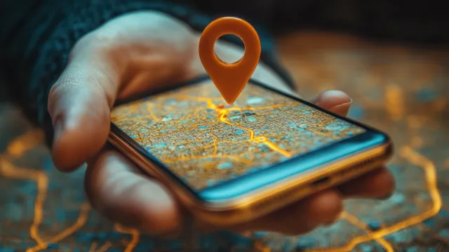
Hand holding a smartphone with a digital map and an orange location pin hovering above the screen.
Neon cyberpunk city map with glowing GPS location pins connected by bright route lines.
Futuristic city map displays glowing route lines and GPS location pins on a digital transport network background.
Red location pins are connected by a dotted path across a 3D city map with soft evening lighting.
Neon cyberpunk city map with glowing GPS location pins and route lines over illuminated roads at night.
Glowing blue GPS pin hovers above a neon-lit cyberpunk street grid on a city map.
Red destination pins on a city map over faint buildings with glowing route lines and direction cues.
3D city street map shows glowing route lines with red GPS pins and navigation direction trails.
Red pushpin is stuck on a city map with glowing route lines across roads in close-up.
Nighttime cyberpunk city skyline glows with blue neon network lines connecting illuminated skyscrapers.
Futuristic electric car dashboard with holographic HUD and neon-lit digital screens surrounding the steering wheel at night.
A glowing GPS pin sits above a blurred city street with navigation visuals on a smartphone screen.
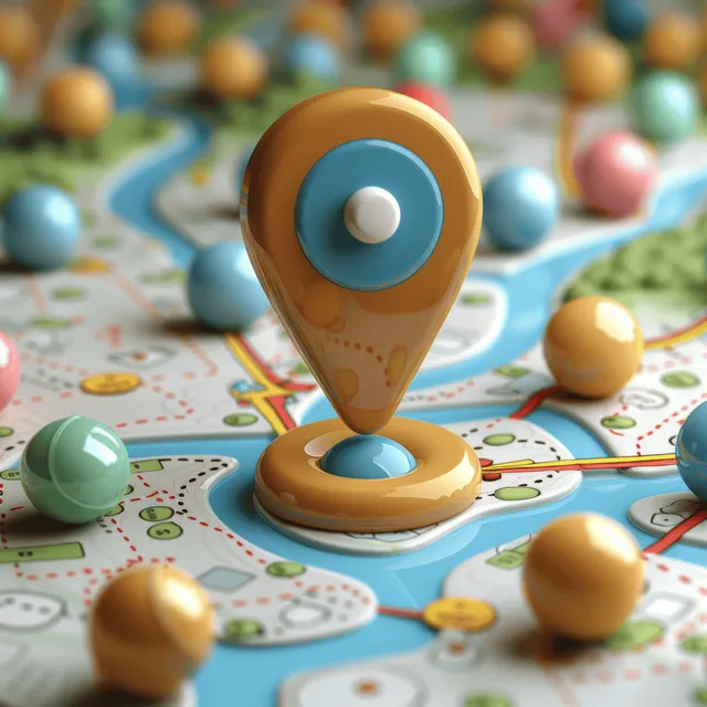
Blue GPS location pin stands on a world map surrounded by orange and teal sphere markers along roads.
A tablet display shows a glowing smart city map with GPS pins and highlighted transportation routes.
Golden GPS location pin icon placed on a colorful map with route lines and small destination markers.
A 3D city map is covered with clustered geofencing pins on street grids, emphasizing GPS targeting.
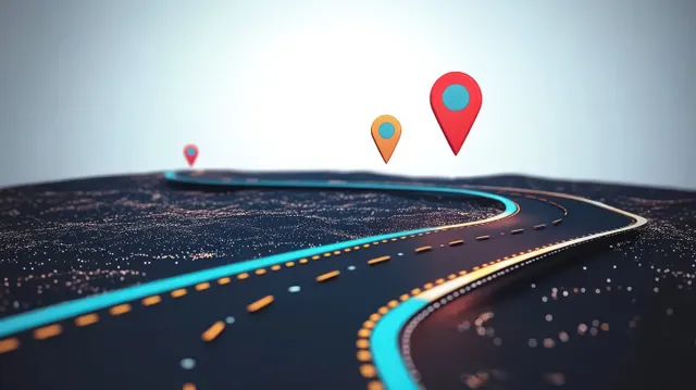
Curved neon highway with floating location pins above a digital terrain, showing route guidance.
Glowing GPS pins hover over a textured city map, suggesting taxi navigation and real-time route tracking.
Neon network lines and GPS markers overlay a futuristic city skyline during sunset.
Close-up of a digital city map with glowing GPS pins and highlighted roads on a smartphone screen.